Soil Inventory
Request Consultation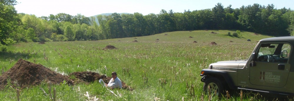
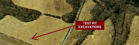
When you buy land, you buy soil. It pays to investigate first!
Detailed soil investigations for coordinated planning of sewage systems and stormwater facilities. Sewage systems depend on unsaturated conditions, and cannot share the the same landscape with concentrated stormwater.
- Delineation of wetlands and waters
- Colluvial and alluvial soils
- GPS inventory and plotting of all features to AutoCAD geo-referenced plans (Sub-Meter TopCon Mobile GMS-2 Pro)
- Karst topography (limestone sinkholes and depressions)
- Seasonal high water table, bedrock depths, and drainage classes for planning structures
- Land reclamation or remediation potential
- Source materials: clay (low permeability soils for dams, liners, caps) and cover soil (remediation topsoil and subsoil to support vegetation)
Land development planning without a soil inventory is a wasted effort! One cannot wish for appropriate soils to appear because a lot has been drawn on a plan. The soils have been part of the landscape for thousands of years. Regulated wetlands and waters are realities that will not go away. Preliminary soil investigations and mapping of soil and site characteristics enable optimization in land use and informed decision-making.